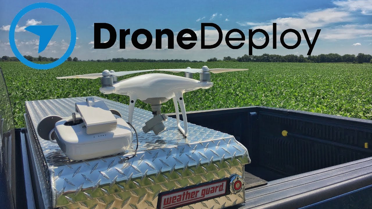
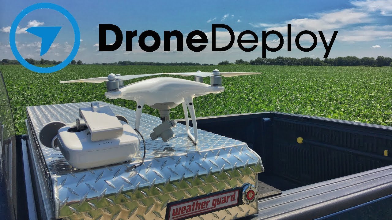
How to use drone deploy – How to Use DroneDeploy unlocks the power of aerial imagery for various applications. This guide walks you through everything from setting up your account and planning flights to processing data and sharing your results. We’ll cover different DroneDeploy subscription plans, flight planning techniques, data processing options, and troubleshooting tips, ensuring you can confidently capture, process, and analyze high-quality aerial data.
Whether you’re a seasoned drone pilot or just starting out, we’ll provide a step-by-step approach to mastering DroneDeploy’s features and maximizing the potential of your drone. We’ll delve into advanced features, explore different industry applications, and offer solutions to common challenges. Get ready to take your drone operations to the next level!
Getting Started with DroneDeploy
DroneDeploy simplifies drone data acquisition and analysis. This section guides you through the initial setup, from account creation to connecting your drone.
DroneDeploy Subscription Plans
DroneDeploy offers various subscription plans catering to different needs and budgets. These plans typically include features like flight planning, data processing, and storage capacity. Basic plans offer core functionalities, while enterprise plans provide advanced analytics and collaborative tools. Check the DroneDeploy website for the most up-to-date pricing and features of each plan.
Creating a DroneDeploy Account
- Visit the DroneDeploy website and click on “Sign Up”.
- Enter your email address and create a password.
- Complete the registration form with your necessary information.
- Check your email inbox for a verification link and click it to activate your account.
Connecting Your Drone
Connecting your drone to the DroneDeploy app depends on your drone model. Generally, you’ll need to ensure your drone’s firmware is updated, and then follow these steps:
- Open the DroneDeploy mobile app.
- Select “Add Drone”.
- Choose your drone manufacturer and model.
- Follow the on-screen instructions to connect your drone via Wi-Fi or other specified methods.
- Authorize the app to access your drone’s data.
Setting Up a New Project
- Open the DroneDeploy app and tap the “+” button to create a new project.
- Give your project a descriptive name and select the location using the map.
- Specify the project area by drawing a polygon or selecting a pre-defined shape.
- Choose the appropriate map base layer for your needs.
- Define your desired camera settings, such as altitude, overlap, and image resolution.
Planning and Preparing Flights
Careful planning ensures efficient and safe drone flights, resulting in high-quality data. This section covers flight planning, pre-flight checks, and choosing the right flight mode.
Getting started with drone mapping? Figuring out how to use DroneDeploy software can seem tricky at first, but it’s surprisingly intuitive once you get the hang of it. Check out this awesome guide on how to use DroneDeploy to learn the basics. From planning your flight to processing the data, this resource will walk you through the entire process of using DroneDeploy for your aerial projects.
Designing a Flight Plan, How to use drone deploy
DroneDeploy’s flight planning tools allow you to create automated flight paths. Key considerations include:
- Altitude: Higher altitudes cover larger areas but reduce image resolution. Lower altitudes increase resolution but limit coverage.
- Overlap: Sufficient overlap (typically 70-80% for sidelap and 60-70% for frontlap) ensures accurate image stitching during processing.
- Camera Settings: Adjust settings like ISO, shutter speed, and aperture to optimize image quality based on lighting conditions.
Pre-Flight Checklists and Safety Procedures
Before each flight, always perform a thorough pre-flight checklist. This includes:
- Checking battery levels and charging status.
- Inspecting the drone for any physical damage.
- Verifying GPS signal strength.
- Confirming weather conditions are suitable for flight.
- Ensuring you have all necessary permits and approvals.
DroneDeploy Flight Modes
DroneDeploy offers various flight modes, each suited to different tasks. Options might include automated flight plans for efficient data capture and manual control for more complex scenarios.
Automated vs. Manual Flight Planning
| Feature | Automated | Manual |
|---|---|---|
| Efficiency | High | Low |
| Accuracy | High (with proper settings) | Dependent on pilot skill |
| Complexity | Low | High |
| Flexibility | Limited | High |
Executing Flights and Data Capture
This section details the steps for executing a flight plan and troubleshooting common issues during data acquisition.
Executing a Flight Plan
- Review your flight plan in the DroneDeploy app to ensure all parameters are correct.
- Launch your drone and initiate the flight plan from the app.
- Monitor the flight progress on the app’s map interface.
- Address any warnings or errors that appear during the flight.
- Land your drone safely once the flight is complete.
Troubleshooting Data Capture Issues
Common issues during data capture include:
- GPS signal loss: Ensure clear skies and a strong GPS signal before starting the flight.
- Low battery: Always have fully charged batteries and plan for sufficient flight time.
- Image blur: Adjust camera settings to optimize shutter speed and avoid motion blur.
Maintaining Optimal Image Quality
Tips for maintaining optimal image quality:
- Fly during optimal lighting conditions (avoid harsh shadows and direct sunlight).
- Ensure proper camera settings for the lighting conditions.
- Maintain a consistent altitude and speed during the flight.
Factors Affecting Flight Performance and Data Quality

- Wind speed and direction
- Battery level
- GPS signal strength
- Weather conditions (rain, fog, snow)
- Drone maintenance
- Camera settings
Processing and Analyzing Data
After data capture, the processing stage is crucial for creating accurate and usable deliverables. This section covers uploading, processing options, and common errors.
Getting started with DroneDeploy is easier than you think! First, you’ll want to set up your account and connect your drone. Then, check out this awesome guide on how to use DroneDeploy to learn about flight planning and data processing. Finally, master the art of creating stunning maps and analyzing your data – you’ll be a DroneDeploy pro in no time!
Uploading and Processing Drone Imagery
Upload your drone imagery to DroneDeploy through the app or web interface. The platform then automatically processes the images to create various deliverables. Processing options often include different levels of accuracy and processing time.
Processing Options and Data Accuracy
DroneDeploy provides several processing options. Higher-accuracy processing may take longer but results in more precise orthomosaics and 3D models. Consider the project’s requirements when selecting a processing option.
Creating Deliverables
DroneDeploy allows you to create various deliverables, including:
- Orthomosaics: Georeferenced mosaics of your images, providing a seamless, accurate top-down view.
- 3D models: Three-dimensional representations of the surveyed area, offering insights into elevation and terrain.
- Point clouds: Dense collections of 3D points representing the surveyed area, used for precise measurements and analysis.
Common Errors During Data Processing and Solutions
Common errors include insufficient overlap, poor image quality, and GPS inaccuracies. Solutions involve re-flying with improved settings or addressing issues in the original data.
Sharing and Collaborating
DroneDeploy facilitates seamless data sharing and collaboration. This section covers sharing methods, collaboration features, data export, and security.
Sharing Processed Data
You can share processed data with clients or collaborators through various methods, such as generating shareable links or exporting data in common formats.
Team Collaboration Features
DroneDeploy offers features such as project permissions, comments, and annotations, enabling effective team collaboration.
Exporting Data
- Navigate to the project you want to export.
- Select the “Export” option.
- Choose the desired output format (e.g., GeoTIFF, KML, Shapefile).
- Specify the export settings.
- Initiate the export process.
DroneDeploy Security Features
DroneDeploy incorporates security measures to protect sensitive data, such as access controls, data encryption, and compliance with relevant regulations.
Advanced DroneDeploy Features

DroneDeploy offers advanced features that enhance data analysis and application across various industries. This section explores some of these advanced capabilities.
Advanced Features: Examples
Examples of advanced features include terrain following for consistent data capture over uneven terrain and advanced analytics for extracting specific measurements and insights from your data.
Data Analysis Tools
DroneDeploy provides various data analysis tools. The choice of tool depends on the specific project needs and the type of insights required.
Industry-Specific Applications

DroneDeploy finds applications in various industries, including agriculture (crop monitoring, yield estimation), construction (progress tracking, site surveying), and mining (topographical mapping, volume calculations).
Workflow Example: Agriculture
A typical workflow for agricultural inspection might involve creating a flight plan covering a field, capturing imagery, processing the data to create an orthomosaic and NDVI map, and then using the data to identify areas requiring attention.
Troubleshooting and Support
This section covers common errors and their solutions, along with information on accessing DroneDeploy’s support resources.
Common Errors and Solutions
Common errors include issues with data processing, account access, and flight planning. Refer to DroneDeploy’s help documentation for detailed troubleshooting steps.
Accessing Support Resources
DroneDeploy provides various support resources, including online help documentation, FAQs, and a customer support team.
Optimizing DroneDeploy Performance
Tips for optimizing DroneDeploy performance include using a stable internet connection, ensuring sufficient storage space, and keeping the app updated.
Common Error Messages and Solutions
| Error Message | Solution |
|---|---|
| GPS signal lost | Ensure clear skies and a strong GPS signal |
| Low battery | Use fully charged batteries |
| Processing error | Check data quality and processing settings |
| Upload failed | Check internet connection |
Illustrative Example: Agriculture Inspection: How To Use Drone Deploy
Imagine inspecting a large wheat field. DroneDeploy would be used to plan an efficient flight path across the field. The resulting imagery, after processing, would reveal a detailed orthomosaic showing the field’s layout. Variations in color would indicate areas of healthy growth (lush green) and areas with potential issues (lighter or yellowish greens, indicating possible nutrient deficiencies or disease).
Further analysis might involve generating NDVI maps (Normalized Difference Vegetation Index) to quantify the health of the crop, enabling precision agriculture techniques such as targeted fertilization or pesticide application. The textures in the images would show the density of the wheat plants, helping to estimate yield.
Mastering DroneDeploy empowers you to efficiently capture, process, and analyze aerial data for diverse applications. From streamlined flight planning and automated data processing to collaborative sharing and advanced analytics, DroneDeploy simplifies your workflow. By following this guide, you’ve equipped yourself with the knowledge and skills to leverage the full potential of this powerful platform, unlocking new possibilities for your projects and transforming how you gather and interpret aerial data.
Remember to explore DroneDeploy’s support resources for ongoing assistance and stay updated on new features and functionalities.
FAQ Guide
What drones are compatible with DroneDeploy?
DroneDeploy supports a wide range of drones. Check their website for a comprehensive list of compatible models.
How much storage space do I need for DroneDeploy?
Storage needs depend on project size and image resolution. DroneDeploy offers cloud storage, but you may need additional local storage for large projects.
Can I use DroneDeploy offline?
Some features are available offline, like flight planning, but data processing and uploading generally require an internet connection.
What are the pricing tiers for DroneDeploy?
DroneDeploy offers various subscription plans catering to different needs and budgets; check their website for current pricing.
Is there a free trial available for DroneDeploy?
Check the DroneDeploy website for current trial offers. Availability may change.
